2.5 km
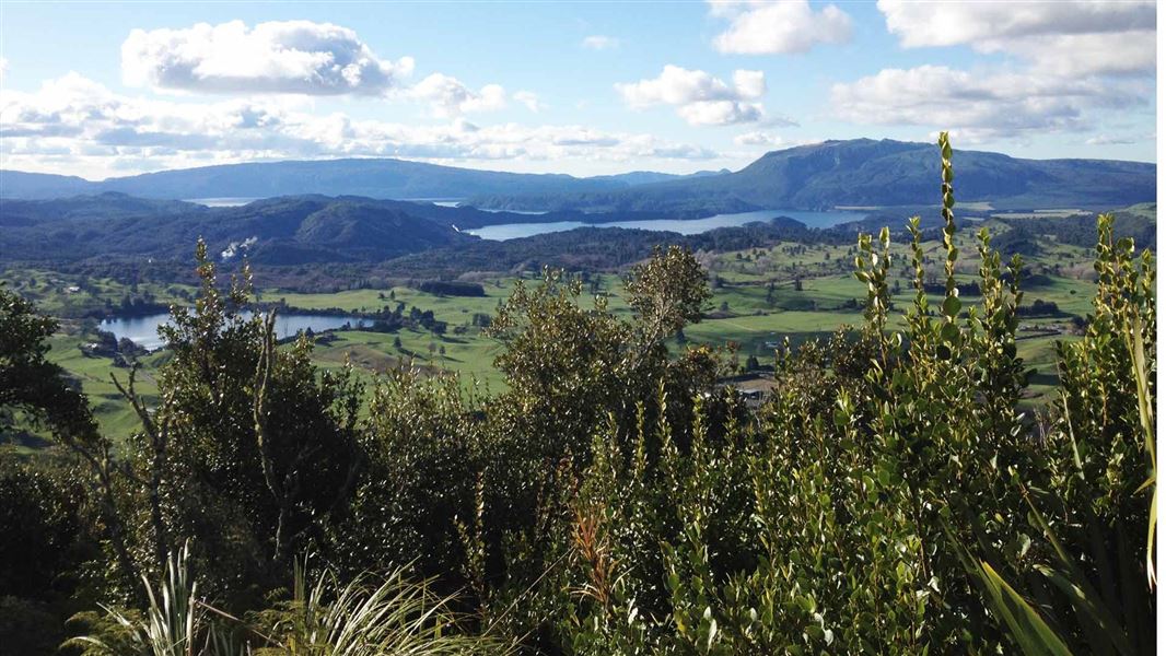
After taking in the sights of the two craters on the Crater Lake Walk, continue north and upwards through regenerating native vegetation and past the bare, coloured and steaming ridges. There are regular opportunities for good views over the surrounding countryside, but to get the complete 360 degrees you need to continue on up to the summit.
Approximately 1 hour 30 minutes from the crater lakes, the summit road is reached - watch out for the occasional vehicle as you proceed the remaining 10 minutes to the very top.
From here you can see Mt Tarawera; Lakes Tarawera, Rotomahana and Rerewhakaaitu to the north; the Paeroa Range to the west; the Urewera Ranges and Kaimanawa Forest to the east; and Mt Tauhara, Lake Taupō and the volcanic peaks of Tongariro National Park to the south.
Mountain biking
Open to uphill mountain biking only, the Maunga Kākaramea Summit Track is part of a mountain bike loop.
Start on the Te Ara Ahi Cycle Trail (Grade 2 - Easy) from the carpark on SH 5 or at Te Ranga (Kerosene Creek). Ride uphill on Te Tihi O Ruru (the summit track) and descend on Te Ranga, a downhill mountain bike only track (Grade 4 - Advanced).
This is a shared-use track. Follow the mountain bikers code: respect others, respect the rules, respect the track.
Maunga Kākaramea (previously known as Rainbow Mountain) lies 26 km south-east of Rotorua, beside SH 5 (the Rotorua-Taupo highway). Approaching from Rotorua the carpark is situated just past the turnoff for SH 38 (the Murupara/ Waikaremoana highway), on the left-hand side of the road.
Cyclists can reach Maunga Kākaramea by following Te Ara Ahi, a 66 km section of the Nga Haerenga, The New Zealand Cycle Trail that includes Maunga Kākaramea Scenic Reserve.
In places on this track, there are cliffs and high drop-offs and thermal areas are changeable by nature, so stay behind barriers, keep to the track, and keep children safe.
DOC Customer Service Centre
| Phone: | 0800 275 362 |
| Email: | rotorua@doc.govt.nz |
| Address: | Rotorua Office |
