Image gallery
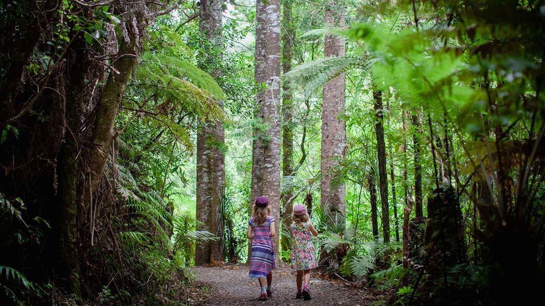
Start at the end of Hot Springs Road, off SH2 and follow the marked track. A ten minute detour will take you to the Tuahu Kauri, a mature stand of kauri trees. The Tuahu Track continues up for 15 mins to cross the Te Rereatukahia Stream before climbing on moderate grade, sidling in and out of gullies for a further hour before meeting the North South Track at the summit.
Past the sumit the track sidles around the steep western escarpment of the Kaimai Range offering many views over the Waikato. Also visible are the Killarney Lakes below.
The track descends gradually until it meets the Waihou Valley Pine Forest, leaving the Forest Park. The track leaves the bridle track and follows access roads through private forestry for one hour to Wairakau Road.
Located within the Kaimai Mamaku Forest Park, this track begins at the end of Hot Springs Road, just south of Katikati off SH2.
Consult a topographic map.
There is a river crossing on this track.
No mountain biking
Mountain biking is not allowed on this track.
Stay safe in the outdoors
- Choose the right trip for you. Learn about the route and make sure you have the skills for it.
- Understand the weather. Check weather forecasts.
- Pack warm clothes and extra food. Check gear lists.
- Share your plans and take ways to get help. Leave your intentions with a trusted contact and take a distress beacon.
- Take care of yourself and each other.
DOC Customer Service Centre
| Phone: | 0800 275 362 |
| Email: | taurangainfo@doc.govt.nz |
| Address: | Tauranga Office |

