Rangitane Road bridge to Colenso Trig
Time: 7 - 9 hr
Walk approximately 9.5 km up the Kawhatau River to the Kawhatau Base access track on the true right of the river. Go through the gate into the old Kawhatau Field Base grounds then climb the steep track up through forest behind the buildings to Colenso Trig (1406 m). Just beyond the trig site is a small sheltered basin with good camp spots beside a tarn. Stay here the night and look down on the lights of settlements in the Rangitikei and Manawatu.
Colenso Trig to Crow Hut
Time: 6 - 8 hr
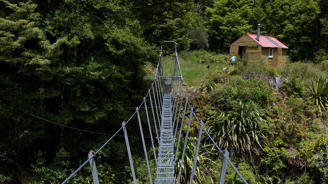
Continue on up the worn track through tussock for about one hour to the tops of the Mokai Patea Range. Turn right and choose a path along the tops through alpine vegetation and bogs till you reach the very steep and slightly hair-raising poled ridge down to Crow Hut. Take extreme care on the top section of this ridge. The track heads back into forest and at the end drops steeply into the Kawhatau River. Negotiate a small bluff before rejoining a track along to the swingbridge crossing the river just before Crow Hut. Due to travel on the unmarked open tops this section should not be attempted in poor visibility or bad weather. Snow can occur any time of year.
Crow Hut to Rangitane Road
Time: 8-9 hr
From the hut a steep track climbs steadily for 3 - 4 hr to the northern end of the Hikurangi Range. Here it joins the poled route down from McKinnon Hut and descends the ridge down to the Kawhatau River. Walk downstream for approximately 9.5 km to the starting point at Rangitane Road bridge.
Previously there has been vehicle access to Kawhatau Base through private land but this access is no longer available.
Access is now by walking up the Kawhatau River from the Rangitane road bridge across the Kawhatau River. Please note this route may not be accessible during times of high river flow.
To get to the Rangitane Road bridge, head north from Mangaweka and turn right off SH1. Cross the Rangitikei River and follow Kawhatau Valley Road. This eventually leads to Upper Kawhatau Valley Road which becomes Rangitane Road.
Stay safe in the outdoors
- Choose the right trip for you. Learn about the route and make sure you have the skills for it.
- Understand the weather. Check weather forecasts.
- Pack warm clothes and extra food. Check gear lists.
- Share your plans and take ways to get help. Share directly or use the Outdoor Intentions form or Plan My Walk. Take a distress beacon.
- Take care of yourself and each other.
| DOC Customer Service Centre | |
|---|---|
| Phone | 0800 275 362 |
| manawatu@doc.govt.nz | |
| Address | DOC offices |
