Image gallery
Akatarawa Saddle to Renata Hut
This route begins at Akatarawa Saddle, on the Akatarawa Road between Upper Hutt and Waikanae. Waiotauru 4WD Road (also known as Odlin’s Road) starts on the eastern side of the road at the saddle – follow this road as it leads up into the hills. Be aware that it is shared use and watch for 4WD vehicles.
Waiotauru Road leads up a long, winding ridge. Shortly before Maymorn Junction there is a notable slip, which comes right to the edge of the road.
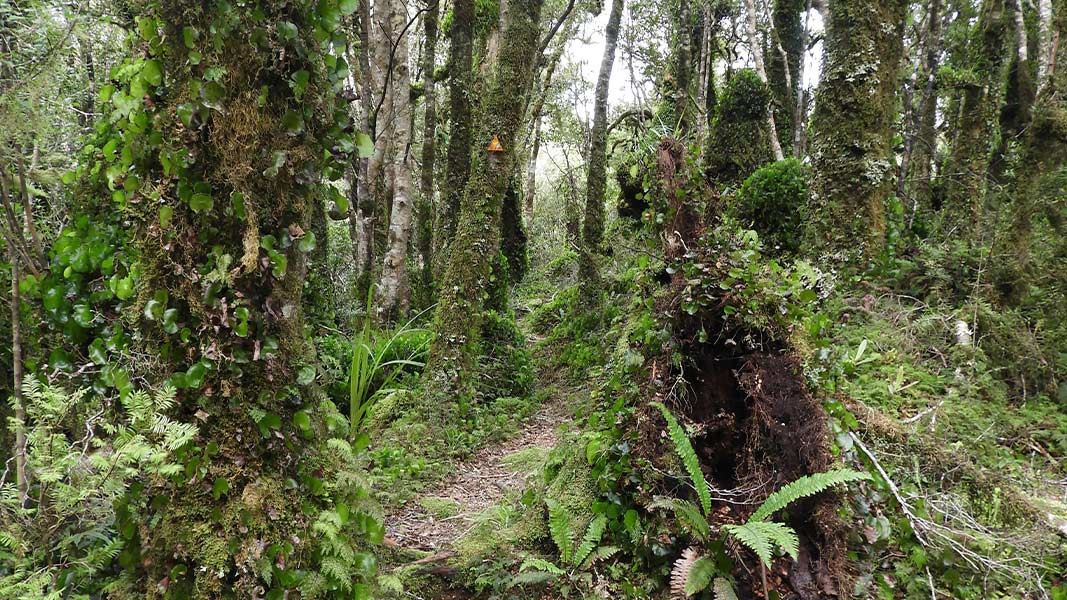
At Maymorn Junction, take the ridge track signposted for Renata Hut. The track follows a forested ridge for 1.5 km then arrives at Renata Hut.
Renata Hut to Elder Hut
Distance: 7.5 km
Time: 4-5 hours
Continue along the Renata Ridge Track from Renata Hut. The track climbs gradually to the Renata high point (924 m).
From Renata, the track continues to follow Renata Ridge as it loops north, then back again. It climbs towards Elder, reaching Elder Hut just before the Elder high point.
Elder Hut to Alpha Hut
Distance: 5.3 km
Time: 4-5 hours
The track from Elder Hut continues to follow Renata Ridge. It climbs steeply towards the main Tararua Range. The track leaves the bush, and climbs to the Aston high point.
Here the track meets the Southern Crossing route. Continue along the Southern Crossing route over Alpha (1361 m) and descend to Alpha Hut, just below the bush line.
Alpha Hut to Kaitoke
Distance: 17 km
Time: 7-9 hours
Continue from Alpha Hut and descend from 1187 m to the saddle at Hells Gate. From there, climb up to Marchant Ridge, passing the Bull Mound, Omega and Block 16 track turn-offs. These tracks into the Tauherenikau valley offer alternative routes to Marchant Ridge, but involve a river crossing, which may be dangerous after heavy rainfall.
Marchant Ridge is a long stretch of bush that is rough underfoot and muddy when wet, so the pace is usually slower. The section from the Smith Creek Shelter junction along Dobson Loop Track has mobile phone reception. Look carefully for the track turn-off into the Kiwi Ranch Road car park, where the track finishes.
The track can be started from Akatarawa Saddle or from Kaitoke, at the Kiwi Ranch Road car park.
This is a remote tramp, pack to be self-sufficient
Pack to be self-sufficient, including carrying spare food in case of delays, a distress beacon and an emergency shelter.
Make sure you carry everything on the tramping packing list.
Ensure you are confident with navigation – carry a map and compass or GPS, and know how to use them. You should have experience in backcountry tramping and be confident judging when conditions are safe to proceed and when to wait, camp or turn back.
Assess the weather and be ready to turn back
Frequent freezing temperatures, thick mist and gale-force winds can make the Tararua tops very dangerous. Assess the weather when you leave the bush and consider turning back if you don’t have the experience or equipment for the conditions.
Stay aware of the weather through your tramp and watch for changing conditions.
Stay safe in the outdoors
- Choose the right trip for you. Learn about the route and make sure you have the skills for it.
- Understand the weather. Check weather forecasts.
- Pack warm clothes and extra food. Check gear lists.
- Share your plans and take ways to get help. Share directly or use the Outdoor Intentions form or Plan My Walk. Take a distress beacon.
- Take care of yourself and each other.
Wellington/Kapiti information | |
Phone: | +64 3 546 9339 |
Email: | nelsonvc@doc.govt.nz |
About: | Whakatū/Nelson Visitor Centre provides visitor information for this area |