Image: Jonathan Astin | ©
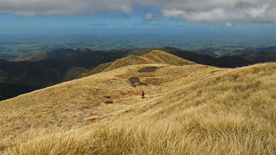
Person walking through mountains in Toka Ngamoko Range.
Knights Track to Pohangina Valley East Road

Located in Ruahine Forest Park in the Manawatu/Whanganui region

There is a bit of everything on this tramp in the Ruahine Forest Park - open tops, rivers and bush travel.

Day 1: Limestone Roadend to Leon Kinvig Hut

Times: 5 - 7 hr

Follow Knights Track to the top of the Ngamoko Range and follow the poles a short distance north to the remains of the old Toka Trig. From there a poled route leads down a long open ridge towards the east before dropping steeply into the Pohangina River. Leon Kinvig Hut is situated on a clearing beside the river immediately opposite here. Due to travel on the open tops this day should not be attempted in poor visibility or bad weather.

Day 2: Leon Kinvig Hut to Mid Pohangina Hut

Times: 6 - 8 hr

Travel down the Pohangina River for approximately one hour before taking a short steep 15 minute track on the true left that detours around an impassable gorge. From here return to the river and continue down to Ngamoko Hut (4 - 5 hr) on the true right. Stay in the river from here all the way down to Mid Pohangina Hut (2 - 3 hr) situated in a clearing on the true left. Numerous river crossings are required this day and in times of normal flow are generally below thigh level. Keep an eye out for the endangered whio (Blue duck) who live along this stretch of the river.
Note: This route is not possible when river levels are high following heavy rain. 

Day 3: Mid Pohangina Hut to Pohangina Valley East Road

Times: 5 - 7 hr

From Mid Pohangina Hut climb a short steep section of track up and over a rocky promontory before descending down to the river.  The swingbridge has been removed so follow a marked detour off the main track to the river crossing. The track then climbs and sidles high above the river for 3 - 4 hours before dropping down to the park boundary and out across farmland to Pohangina Valley East Road.

Alternative option

To get a round trip, stay the second night at Ngamoko Hut and on the third day climb up behind the hut onto the Ngamoko Range and travel north until reaching the Shorts Track turnoff which leads back down to Limestone Road.

Turn right onto Apiti Road just past the village of Kimbolton. This becomes Oroua Valley Road before Apiti. Table Flat Road turns off to the right past Apiti. Follow this until you see the signpost for Limestone Road (veer to the right near the end of Table Flat Road). Wind along Limestone Road till you get to the DOC carpark at the end.

You will need to make transport arrangements as the end and start points of this hike are different.