25 km | 32 km one way
Lilybank Road to Red Stag Hut
Time: 8 hr
Distance: 25 km
Keep to the 4WD track initially as this is a public access easement through private farmland. You will pass a sign for Te Kahui Kaupeka Conservation Park when you reach the park boundary. Red Stag Hut is very small so carry a tent in case the hut is full.
Four wheel driving: The track is popular with 4WD vehicles due to the long distances to each hut. Keep to the track.
Horse riding: This track travels along stony flats.
Mountain biking: Mountain biking into Red Stag Hut is a rougher ride than to Macaulay Hut. Mountain bikers can continue up Godley valley as far as Separation Stream, which is where the 4WD track ends.
Red Stag Hut to Godley Hut
Time: 3 hr
Distance: 7 km
The track is generally well-formed to Separation Stream. From here it is an unmarked route to Godley Hut and you need to be an experienced tramper to find the way within the glacial moraines.
To reach the start of the track you need to cross Macaulay River first. This can be a difficult crossing in periods of high rainfall or snowmelt. Another option is to leave your vehicle at the end of Lilybank Road in the designated parking area and cross the river on foot.
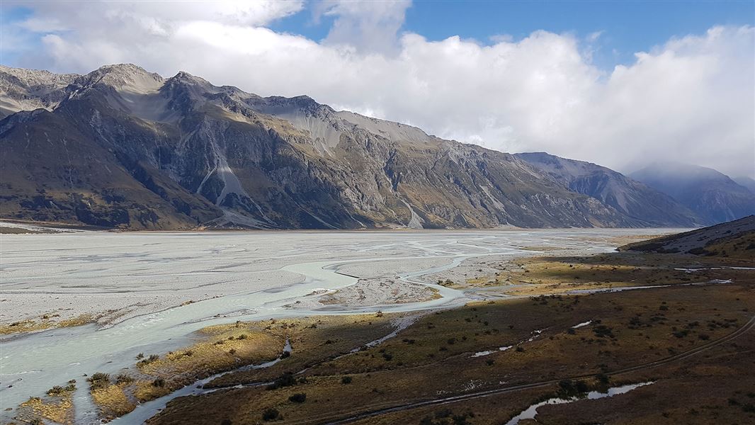
The Godley river 4WD route has been destroyed by the river which has moved to the true left above Sibbald Island.
Vehicle travel beyond this point is at your own risk and may involve fording one or more braids of the river. It should not be attempted unless you are capable of self recovery.
Be aware of nesting birds and follow the Braided River Care Code.
Stay safe in the outdoors
- Choose the right trip for you. Learn about the route and make sure you have the skills for it.
- Understand the weather. Check weather forecasts.
- Pack warm clothes and extra food. Check gear lists.
- Share your plans and take ways to get help. Leave your intentions with a trusted contact and take a distress beacon.
- Take care of yourself and each other.
DOC Customer Service Centre
| Phone: | 0800 275 362 |
| Email: | info@doc.govt.nz |
