Image gallery
Fees
Free
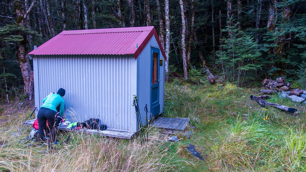
This is a backcountry hut with no DOC track access. You will need to plan your route and navigate yourself, using aids like a map, compass and GPS. Learn navigation skills.
Flood damage on route to Sudden Valley Bivvy
The route to Sudden Valley Bivvy is not maintained and is only sporadically marked. It is only possible to reach the bivvy when the rivers are low as there are multiple river crossings.
Due to significant flood damage, much of the track has been washed away and great care is required on the climb to get around Barrier. Expect the trip to take longer than expected.
Location
NZTopo50 map sheet: BV21
Grid/NZTM2000 coordinates: E1494334, N5243986
Stay safe when crossing rivers and streams
If you plan to cross unbridged rivers or side streams, know how to cross safely and be prepared for if you cannot cross.
Do not cross if the river or stream is flooded, you cannot find safe entry and exit points or are unsure it’s safe. Turn back or wait for the river to drop. If in doubt, stay out.
NIWA river flow forecasts: View a video of national followed by regional river flows
There may be avalanche danger
Avalanches usually occur from May to November in Arthur’s Pass National Park. There can also be avalanches outside this period, if there is still snow coverage.
Check the avalanche terrain in this area.
If you are going into avalanche terrain, always:
- Have the relevant avalanche skills and training.
- Check the ATES rating and New Zealand Avalanche Advisory before you go.
- Go with a buddy. Both of you should carry and know how to use an avalanche transceiver, a snow shovel and a probe.
Arthur's Pass National Park Visitor Centre
| Phone: | +64 3 318 9211 |
| Email: | arthurspassvc@doc.govt.nz |
| Address: | 104 West Coast Road Arthur's Pass 7654 |
| Hours: | Visitor centre hours and services |