Image: DOC
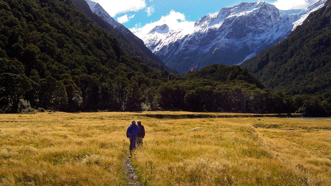
Entering the bush from Pearl Flat.
Pearl Flat to head of the valley

Located in Matukituki Valley area and Mount Aspiring National Park in the Otago region

This track climbs through beech forest crossing swingbridges to bring you to the head of the Matukituki Valley.

Follow the West Matukituki Track to Aspiring Hut and on to Pearl Flat.

From the top of Pearl Flat the track enters the bush on the West Matukituki River’s true right. 10 minutes up valley from the Liverpool Swing Bridge, cross the French Ridge Swing Bridge to the beginning of the French Ridge Track.

After a climb of 100m, a track branching off to the left sidles through beech forest before reaching open scrubby country - approximately 500 m upstream and 50 m from the river from this point is Scotts Rock Biv; a small and not entirely waterproof rock shelter marked with a cairn on top. Easy open travel leads from the biv back across the river to the head of the valley.

The Scotts Rock Swing Bridge destroyed by an avalanche in 2013 will not be replaced. To avoid the need to cross the river below Scotts Rock Biv, use the new replacement track on the true left of the river that starts after a 100 m climb from the French Ridge Track Swing Bridge.

The route beyond the head of the valley to Bevan Col is for experienced trampers and climbers only.

Shovel Flat erosion

The track has eroded at Shovel Flat. Proceed with caution and allow extra time. If the river is high do not attempt to pass through the river, detour through the bush instead.

Be avalanche alert

This area has terrain that can produce avalanches that cross the track, usually from May into November. View avalanche information and the terrain rating for this track.