Image: Jaime Apolonio | Creative Commons
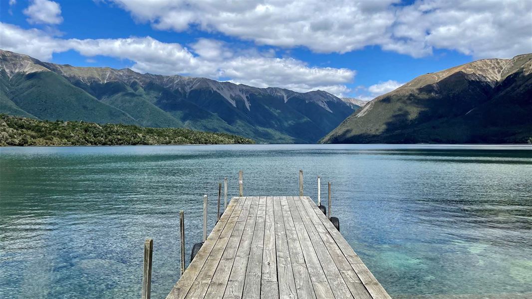
Jetty leading out to large lake with mountain range in the background.
Lake Rotoiti Circuit

Located in Nelson Lakes National Park and St Arnaud area in the Nelson/Tasman region

Walk around Lake Rotoiti surrounded by high mountain peaks – with the option to catch a water taxi one way or to stay overnight in a hut, it's a great option for families with children.

Options for walking around Lake Rotoiti:

  • complete the circuit as a long day walk
  • walk half the circuit by taking a water taxi to Lakehead Hut or Coldwater Hut and walking back to Kerr Bay
  • take 2 days and stay overnight in Lakehead Hut or Coldwater Hut

Beginning in Kerr Bay, take the Lakehead Track around the eastern shore and reach Lakehead Hut after about 3 hours.

If the Travers River is low, you can cross the river opposite the hut to get to Coldwater Hut (50 minutes); otherwise there is a swingbridge 1 hour 30 minutes further up the Travers Valley. From Lakehead Hut to Coldwater Hut via the swingbridge is 3 hours.

From Coldwater Hut at the lake edge, the Lakeside Track heads north along the western lake shore. An hour from the hut the track passes by a short side track to Whisky Falls. This 40 metre waterfall is surrounded by thick walls of moss and ferns. After another hour the track turns away from the lake and climbs to Mt Robert Road.

Walking back along the road to Kerr Bay adds another hour.

The track starts in Kerr Bay, on the edge of Lake Rotoiti in St Arnaud.

St Arnaud is 88 km from Nelson on SH6, 129 km from Picton on SH63, 157 km from Wesport on SH6 and SH63, and 350 km from Christchurh on SH65 and SH6.

  • Be prepared with warm and waterproof clothing. Nelson Lakes National Park is in an alpine area – freezing conditions can occur at any time of year. 
  • No rubbish facilities are provided – carry out all your rubbish.
  • Biting sandflies can detract for your experience at the lakes, especially during the summer months – cover up and apply a good quality insect repellant to exposed skin.
  • Wasps are a known hazard and are particularly common from December until April – carry antihistamine if you are allergic to their stings.

All drone use must be authorised by DOC

You must have a permit to fly a drone on public conservation land.

Visit our Drone use on conservation land page for more information.

Lake Rotoiti is the result of the activity of the Travers Glacier, which last occupied the valley between 20,000 and 12,000 years ago. A succession of glaciers gouged out the valley floor creating a deep depression, which Lake Rotoiti now occupies. The continuing erosion of the surrounding mountains is slowly filling the lake with sediment brought down by rivers and streams. This slow, yet constant erosion will eventually see the mountains levelled and the lake filled.

Dense beech forest towers over a carpet of vivid green mosses and ferns for much of the walk. In summer, red rātā flowers provide a brilliant contrast to the predominance of greenery. A rare stand of rimu trees in the area can be seen on the easternshore, about two-thirds of the way to Lakehead Hut. On the western side of the lake, beech forest and regenerating forest of mānuka and kānuka clothe the lower slopes of Pourangahau/Mt Robert.

The most numerous and vocal birds encountered along this walk are the nectar-feeding tūī and bellbirds. Keep an eyeout for the native forest birds that feed on insects, such as the fantail, tomtit and bush robin. If you are fortunate, you may also hear or see the noisy kākā along the way.