There are two tracks to Burn Hut – the tramp can be done as a return trip on either track, or the tracks can be combined to make a loop (with some road walking).
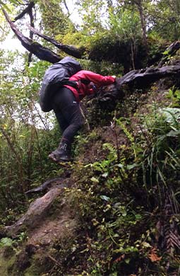
Steep section on the Burn Hut Track
Image: Michelle Campbell ©
Mangahao Lower No. 2 Reservoir to Burn Hut
Time: 3 to 4 hr
The track starts on the far side of the Mangahao Lower No.2 Reservoir and sidles down the true right of the river for around 1 hour. While this section of the track looks flat on the map, there are actually many small ups and downs. Just past a wooden bridge, the track climbs for an hour to the bush line.
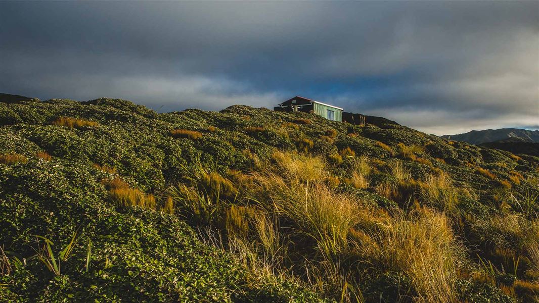
The track emerges onto the tops, which are thickly covered with leatherwood. The track follows the ridge for another hour to Burn Hut, which is located on a small spur.
From here, you can return the way you came, or take an alternative track to the upper reservoir and walk back to your car along the road (described below).
Burn Hut to Mangahao Upper No. 1 Reservoir
Time: 3 to 4 hr
From the hut, the track crosses a small saddle then climbs back to the ridge line. After following the ridge for around 1 hour the track sidles behind high point 835 m and begins its decent, reaching college stream in another 40 minutes.
There is no formed track down College Stream. Instead, you will need to walk in the stream bed, boulder hopping and crossing often. If there has been heavy rain, we recommend that you do not attempt this route – it may be impassable.
After around following College Stream for about an hour, you will reach its junction with Baber Creek. The track starts around this junction, on the true right. Allow about an hour from here to the dam.
Follow the track towards Mangahao Upper No.1 Reservoir. It follows the edge of the reservoir and crosses the dam face, ending at the Mangahao Road end.
Mangahao Upper No. 1 Reservoir to Mangahao Lower No. 2 Reservoir
Follow Mangahao Road for 4 km, from the upper reservoir to the lower reservoir.
There is no track or footpath, so watch out for vehicles, especially on corners.