Image: DOC
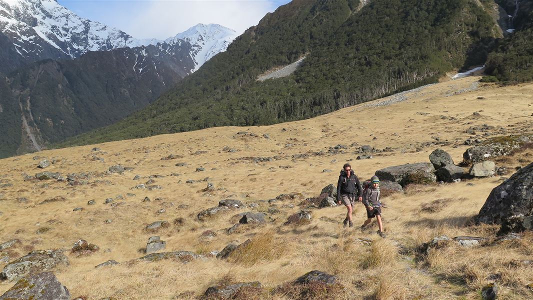
Huxley valley tracks.
Huxley valley tracks

Located in Ruataniwha Conservation Park in the Canterbury region

The Huxley valley branches off Hopkins valley in Ruataniwha Conservation Park.

Ram Hill carpark to Huxley Forks Hut

Time: 6 hr
Distance: 18 km

If you have a 4WD you can drive to the conservation park boundary just south of Monument Hut. Otherwise walk 2 - 3 hours from the Ram Hill carpark to Monument Hut.

From Monument Hut it is 3 hours to Huxley Forks Hut. There are tracks in the beech forest and a swing bridge if river levels are high. Otherwise it's quicker to walk in the Huxley River bed to reach the hut on the true left of the valley. Officers Hut is a basic hut that is 20 m from Huxley Forks Hut. 

Huxley Forks Hut to Brodrick Hut

Time: 3 hr
Distance: 4.5 km

There have been a few natural slips in the North Huxley valley over the years, which means it takes slightly longer to reach Brodrick Hut. If river levels are low then the fastest travel is in the riverbed itself. From Brodrick Hut trampers may elect to climb over Brodrick Pass (1630 m) into the Landsborough valley.

Huxley Forks Hut to South Huxley Biv

Time: 3 hr
Distance: 5 km

Follow the marked route to South Huxley Biv, which is a very small hut.

Huxley valley branches off Hopkins valley which is at the end of Lake Ohau Road, 60 km from Twizel. Follow SH 6 from Twizel, then turn into Lake Ohau Road.

The sealed road changes to gravel after passing Lake Ohau Lodge. Drive carefully and watch out for stock grazing beside the road. As a courtesy, drive slowly past Lake Ohau Station buildings to reduce dust.

Park your car at the Ram Hill carpark at the road end, or if you have a 4WD vehicle carry on to Monument Hut.

Map: NZTopo50 BY14 Mt Ward

Dog access

There is an ongoing trapping and poison operation for possums in this area. Monitor your dog and use a muzzle to avoid any potential scavenging of possum carcasses.

Stay safe when crossing rivers

If you plan to cross unbridged rivers, know how to cross safely and be prepared for if you cannot cross.

Do not cross if the river is flooded, you cannot find safe entry and exit points or are unsure it’s safe. Turn back or wait for the river to drop. If in doubt, stay out.

How to cross rivers safely

Be avalanche alert

This area has terrain that can produce avalanches that cross the track, usually from May into November. View avalanche information.