 Elevation profile of the Mangamate Loop track – view larger in Whirinaki walks brochure
Day one is on a well-formed track of a high standard. However, the next two days transition onto unformed tracks where you will be constantly crossing the Mangamate Stream. River-crossing skills are required.
The track starts and ends along the Whirinaki Waterfall Loop.
Day 1: River Rd car park to Central Whirinaki Hut
Time: 5 hr
Distance: 16 km
Begin at the River Rd carpark. After crossing Te Whaiti-Nui-a-Toi Canyon bridge, keep the Whirinaki River on your right side and head south. After 1 hr (3.5 km), cross the Mangamate Bridge (you’ll end up back here on day 3).
Carry on past the Whirinaki Waterfall and up to Vern’s Campsite. With a shelter and toilet, this is a good place to stop for lunch. From Vern’s it's another 8 km to the first overnight stay at Central Whirinaki Hut.
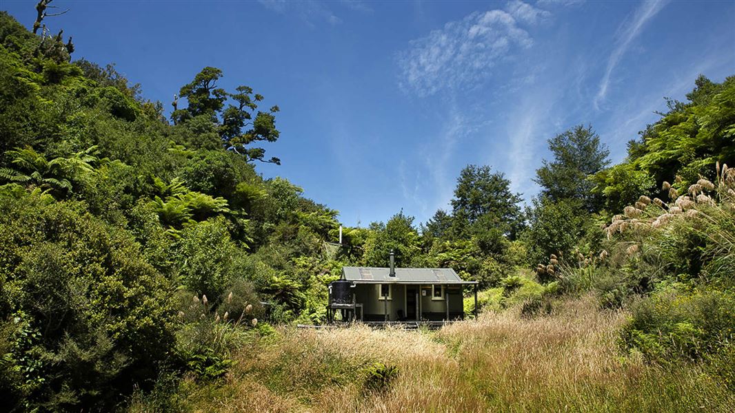
Day 2: Central Whirinaki Hut to Mangamate Hut
Time: 4 hr 30 min
Distance: 8.2 km
From Central Whirinaki Hut carry on along the Whirinaki River for 45 min (2 km), till you reach Taumutu bridge. The track branches left onto the Taumutu Stream and after around 1 km branches left again onto the Kakanui Stream. From here the route is almost entirely in the stream. After about 1 hr 30 min, the track climbs sharply to Mangamate Hut, which is located high on a ridge.
Day 3: Mangamate Hut to River Rd carpark
Time: 4 hr
Distance: 10.1 km
The track travels steeply down from the hut where it now enters the Upper Mangamate Stream. From the hut it's 3 hr (6.6 km) down-stream to the Mangamate bridge. The track is in and out of the stream – expect 60+ stream crossings. At the Mangamate bridge the loop closes. With the Whirinaki River on your left, follow the track back to River Road car park.

 Elevation profile of the Mangamate Loop track – view larger in Whirinaki walks brochure
