Department of Conservation | Te Papa Atawhai
https://www.doc.govt.nz/
https://www.doc.govt.nz/
Introduction
Find out what concession (permit) you need from DOC to operate a drone on public conservation land.You must have a permit from DOC to operate a drone on public conservation land.
This information only applies if you only want to operate a drone on public conservation land, whether it's for filming or other purposes.
If you want to use a drone while doing other activities that need a concession, for example, filming from the ground or filming using a larger aircraft, you should make a combined concession application. See apply for a permission.
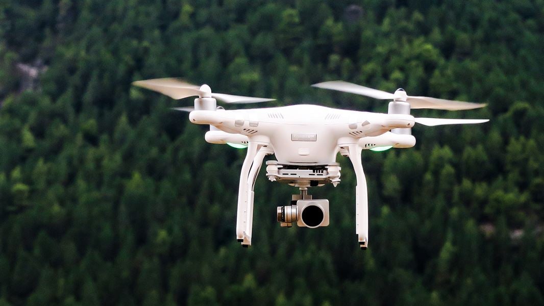
Under the Civil Aviation Act 1990 drones are aircraft. Drones operators must comply with the New Zealand Civil Aviation Authority rules.
Aircraft on public conservation land is also managed under the Conservation Act 1987. Under the Conservation Act 1987 all aircraft taking off, landing, or hovering on public conservation land requires a concession.
Before you apply for a concession
If you want to apply to fly a drone, the following information will help you understand the concession application process.
Pre-application checklist
Ensure you have:
- understood and can comply with the New Zealand Civil Aviation Authority rules for drone operators.
- understood and can comply with DOC's drone operating conditions
- identified the purpose for which you want to fly your drone (either for recreational, research, or commercial purposes).
- identified where you want to fly your drone and whether it is consistent with DOC’s Drone Use Policy.
Identify the purpose for your flight
Where you can fly your drone will be influenced by the reason for which you want to operate your drone.
Drone use falls into one of the three following categories:
Recreational drone use
You are using your drone “for fun”. There is no commercial reward or gain for using your drone.
Commercial drone use
You are using your drone for the purpose of commercial reward or gain.
This could include using a drone for producing media content for public consumption (i.e. television shows, commercials, feature films) or producing media content for other purposes (i.e. using a drone for land surveillance or mapping in advance of a construction project).
Research drone use
You are using your drone for the purpose of furthering conservation knowledge and/or information, for example academic use.
This could include using a drone to survey and monitor wildlife or using a drone to fly and place wildlife tracking cameras.
Identify where you want to fly
Certain types of public conservation land are suitable for drone use. Other types of public conservation land may be exempted, or only allow drone use in special circumstances.
To help drone operators identify where drones can operate on public conservation land (and for what purpose), individual public conservation land has been categorized into one of the three the following categories:
Green category
Drone use at this location is likely to be consistent with the Conservation Act 1987. A concession should be granted unless there are exceptional circumstances.
Orange category
Unclear if drone use at this location is likely to be consistent with the Conservation Act 1987. However, further assessment is required on a case-by-case basis.
Red category
Drone use at this location is unlikely to be consistent with the Conservation Act 1987. A concession will not be granted unless there are exceptional circumstances.
How to identify conservation land
To identify if the location at which you want to operate is suitable for drone use undertake the following steps:
- Use our parks and recreation map to identify the name of public conservation land location(s) you want to operate at.
- Refer to the documents below to confirm if your proposed locations are consistent with the drone use categories.
Recreational – drone use public conservation land locations (XLXS, 201K
Commercial - drone use public conservation land locations (XLXS, 258K)
Research - drone use public conservation land locations (XLXS, 221K)
We are still working to categorise public conservation land on the West Coast of the South Island. Until this is complete, conservation land in the West Coast is categorised under the orange category.
If the public conservation land location at which you want to fly your drone is not listed in the above spreadsheet, let us know at permissions@doc.govt.nz.
DOC’s drone use policy
For more information on how DOC identified public conservation land location(s) suitable for drone use, see Drone Use Policy – Position Statement (PDF, 284K)
Apply for a concession
You should only follow the application process (below) if you only want to operate a drone on public conservation land. If you are seeking to operate a drone in conjunction with other activities on public conservation land that also require a concession, for example, commercial transport, commercial guiding, marine mammal viewing, you should make a combined concession application.
For more information see apply for a permission.
If you are ready to apply for a drone concession, select one of the following:
Apply for a recreational drone concession
Apply for a commercial drone concession
Apply for a research drone concession
Working with Treaty partners
DOC has a responsibility to give effect to the principles of the Treaty of Waitangi. This is a requirement under Section 4 of the Conservation Act 1987.
For drone concession applications for orange category public conservation land location(s) DOC may engage with Treaty partners.
Whilst it is not a mandatory requirement, you can choose to engage with iwi/hapu about operating a drone in their respective territory (either before or after you apply for a concession). Doing so can afford the opportunity to build relationships with Treaty partners at place.
Outcomes can include:
- making agreements to share research information/research findings from your drone operation.
- inviting a Treaty partner representative to observe a drone operation for research purposes.
Drone safety
Drones can have adverse effects on people and wildlife.
For more information on how DOC is managing safe and appropriate drone use on public conservation land see drone safety.
Contact us
For further questions, you can contact us at permissions@doc.govt.nz.